Panglao
TAG
Bohol Panglao International Airport

Philippines



Arrivals
Bohol Panglao International Airport
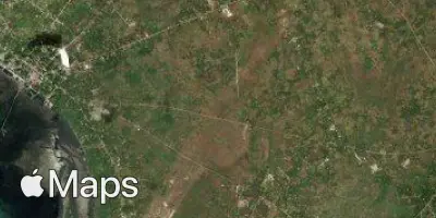
Bohol Panglao International Airport (TAG) serves the island province of Bohol in the Philippines, situated on Panglao Island approximately 8 miles from the city of Panglao. The airport sits at an elevation of 36 feet above sea level, placing it in a low-lying coastal setting typical of island destinations in the region.
As an international airport serving a popular Philippine tourist destination, TAG accommodates both domestic connections within the Philippines and international arrivals from other parts of Asia. Its role as a gateway to Bohol means it primarily handles traffic linked to leisure travel, connecting visitors to the island's coastal and inland attractions. The airport's international designation reflects growing direct access to the province without requiring transit through a larger domestic hub.
Given its location on a relatively small tropical island, travelers can expect the airport to function as a regional gateway rather than a major connecting hub. Its low elevation and coastal position are common features of airports in this part of Southeast Asia, and flights to and from TAG typically operate over open water for at least part of the journey, given the island geography of the Philippines.
Height above sea level
36 ft
Distance to city
8 miles
Traffic volume
15 flight per day
Satellite