Sacramento
SMF
Sacramento International Airport

United States
Departures


Sacramento International Airport
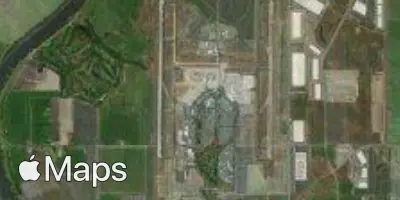
Sacramento International Airport (SMF) serves Sacramento, United States, and lies about 10 miles from the city center. The airport sits at an elevation of just 28 feet above sea level, a low-lying position typical of the Central Valley region in which it is located.
Traffic at SMF is dominated by domestic connections, with flights linking the airport to other major cities across the western part of the country. The route pattern reflects a strong orientation toward destinations along the Pacific coast and the southern United States, suggesting a network built primarily around short to medium-haul travel within North America rather than long-haul international service. This gives the airport a regional character, functioning as a gateway for travelers moving between Northern California and other domestic hubs.
Given its low elevation and inland valley setting, flights to and from SMF are less likely to encounter the turbulence associated with mountainous terrain or coastal wind patterns compared to airports situated at higher altitudes or along more exposed coastlines. Travelers using this airport can generally expect conditions shaped by the flat, valley geography surrounding Sacramento rather than by dramatic elevation changes near the airport itself.
Height above sea level
28 ft
Distance to city
10 miles
Traffic volume
150 flight per day
Satellite