Springfield
SGF
Springfield-Branson National Airport

United States
Departures


Springfield-Branson National Airport
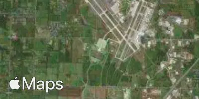
Springfield-Branson National Airport (SGF) serves the city of Springfield in the United States, located about 10 miles from the city center. The airport sits at an elevation of 1,267 feet, which is relatively high for a commercial airport and something pilots and passengers alike may notice in terms of aircraft performance during takeoff and landing, particularly in warmer months when higher elevations can affect climb rates.
No route or traffic data has been provided for this airport, so its scale and the character of its connections cannot be described here. Travelers planning a trip through Springfield-Branson National Airport should consult current flight schedules for specifics on destinations served and frequency of service, as this description focuses solely on the airport's physical location and elevation characteristics rather than its operational scope. The distance from the airport to downtown Springfield suggests a manageable transfer time for most ground transportation options, making it a reasonably convenient point of access to the surrounding area for those flying in or out of the region.
Height above sea level
1267 ft
Distance to city
10 miles
Traffic volume
20 flight per day
Satellite