Omaha
OMA
Omaha Eppley Airfield

United States
Departures


Arrivals
Omaha Eppley Airfield
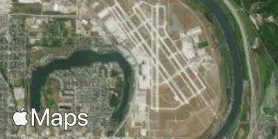
Omaha Eppley Airfield (OMA) serves Omaha, United States, and sits about 3 miles from the city center, making it a convenient option for travelers heading into town. The airport lies at an elevation of 984 feet.
Traffic at OMA reflects a domestic-focused operation, connecting the city primarily with other points within the United States. The airport's role is that of a regional gateway, linking Omaha to major metropolitan hubs and supporting business and leisure travel across the country rather than serving as an international connecting point. Its scale is modest compared to large hub airports, which typically means shorter walking distances, quicker security processing, and a more straightforward overall travel experience for passengers moving through the terminal.
For travelers using Flying Calmly's turbulence forecasts, OMA's domestic route network means most flights operate at altitudes and over terrain typical of continental United States air travel, with weather patterns across the central part of the country playing a key role in flight conditions. The airport's proximity to the city and its manageable size make it an efficient departure or arrival point for those flying to or from Omaha.
Height above sea level
984 ft
Distance to city
3 miles
Traffic volume
70 flight per day
Satellite