Lubbock
LBB
Lubbock Preston Smith International Airport

United States


Lubbock Preston Smith International Airport
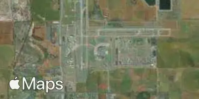
Lubbock Preston Smith International Airport (LBB) serves Lubbock, Texas, in the United States and lies approximately 10 miles from the city center. The airport sits at an elevation of 3,282 feet, a notably high altitude that results in thinner air compared to sea-level airports, which can influence aircraft performance during takeoff and landing.
Traffic through LBB is oriented toward domestic connections within the United States, linking Lubbock to major hub cities that allow onward travel across the country. The airport's route network reflects a regional character, functioning primarily as a gateway connecting this part of Texas to broader domestic air travel rather than serving as an international hub. Flights operate on major domestic carriers, supporting business and leisure travel between Lubbock and key connecting points elsewhere in the United States.
Given its elevated location on the South Plains of Texas, travelers flying into or out of Lubbock Preston Smith International Airport may experience conditions typical of high-altitude airports, including the effects of thinner atmosphere on aircraft climb and descent profiles. The airport's distance from downtown Lubbock makes ground transportation an important consideration for those connecting to the city center after arrival.
Height above sea level
3282 ft
Distance to city
10 miles
Traffic volume
25 flight per day
Satellite