Ankara
ESB
Ankara Esenboga Airport

Turkiye
Departures


Ankara Esenboga Airport
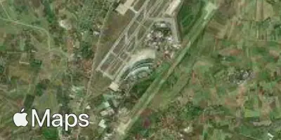
Ankara Esenboga Airport (ESB) serves the Turkish capital, Ankara, and lies about 28 miles from the city center. The airport sits at an elevation of 3,125 feet, which is notably high compared to many lowland airports and can influence aircraft performance and approach procedures, particularly in hot weather.
Traffic at ESB reflects its role as a key domestic hub connecting Ankara to other major cities within Turkiye, while also maintaining links to international destinations across Europe and neighboring regions. As the gateway to the nation's capital, the airport handles a mix of government-related travel, business traffic, and connections that tie Ankara into the broader Turkish and regional aviation network.
Given its elevated position on the Anatolian plateau, travelers should be aware that the surrounding terrain and altitude can occasionally contribute to distinct local weather patterns, including temperature swings and wind conditions that differ from coastal Turkish airports. This makes ESB a location where seasonal weather awareness is particularly relevant for those planning flights to or from the capital.
Height above sea level
3125 ft
Distance to city
28 miles
Traffic volume
100 flight per day
Satellite