Bakersfield
BFL
Bakersfield Meadows Field Airport

United States
Departures


Arrivals
Bakersfield Meadows Field Airport
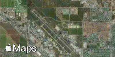
Bakersfield Meadows Field Airport (BFL) serves the city of Bakersfield, California, in the United States. The airport sits at an elevation of 507 feet and is located approximately 8 miles from the city center, making it a convenient option for travelers heading into or out of Bakersfield.
Given its elevation and inland Central Valley location, flights operating from Meadows Field typically experience the terrain-influenced conditions common to airports situated away from coastal moderation. Pilots and passengers can expect the kind of localized weather patterns and thermal activity associated with the region's agricultural valley setting, particularly during warmer months when surface heating can contribute to lower-altitude turbulence on approach and departure. Travelers checking turbulence forecasts for flights through BFL should factor in these regional characteristics, as the airport's position within California's Central Valley creates a distinct atmospheric profile compared to coastal or mountain airports elsewhere in the state.
Height above sea level
507 ft
Distance to city
8 miles
Traffic volume
10 flight per day
Satellite